The shortest route comes up from the left to the saddle between the hill that is still covered by trees and the main summit. Then it follows the ridge.
|
|
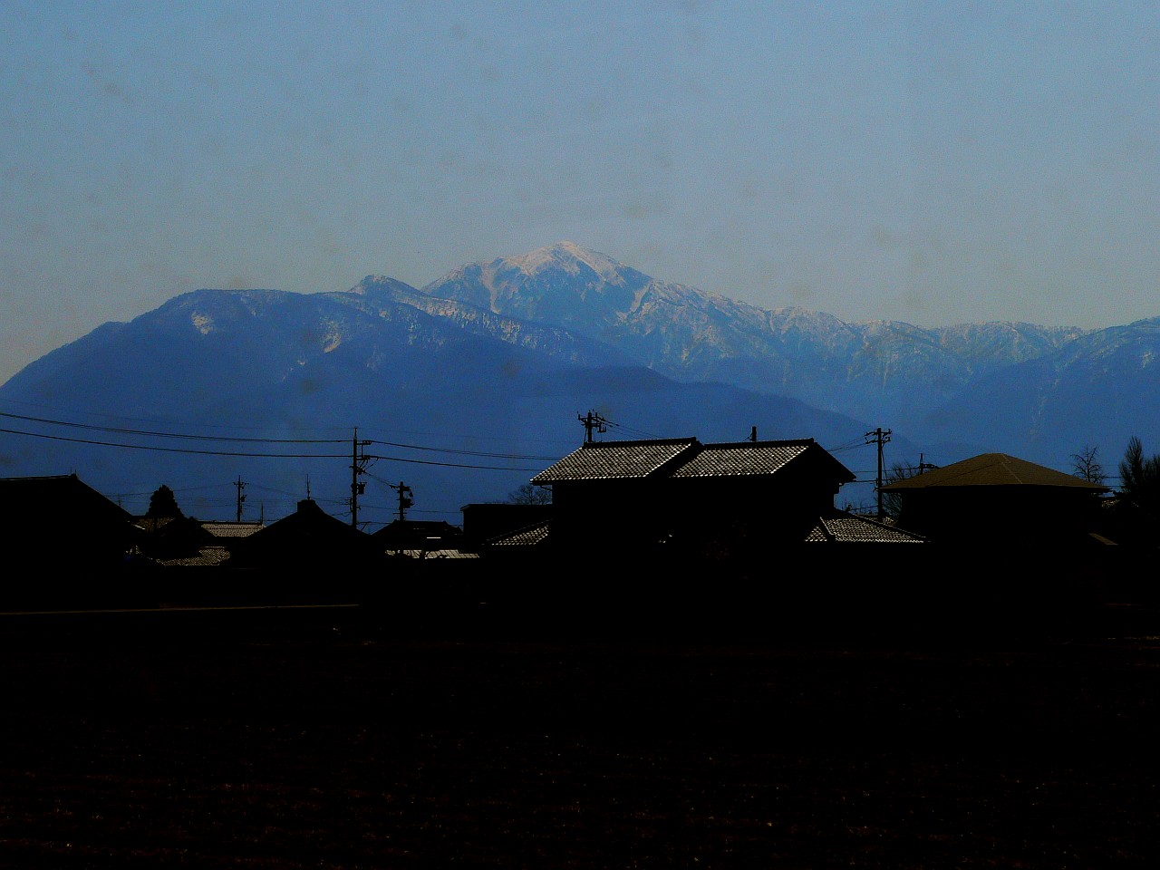
Against the sun and through the train's dirty windows the first pictures of Arashimadake did not come out all too well. From there it still looked like a pretty normal hike with some snow. The shortest route comes up from the left to the saddle between the hill that is still covered by trees and the main summit. Then it follows the ridge. |
|
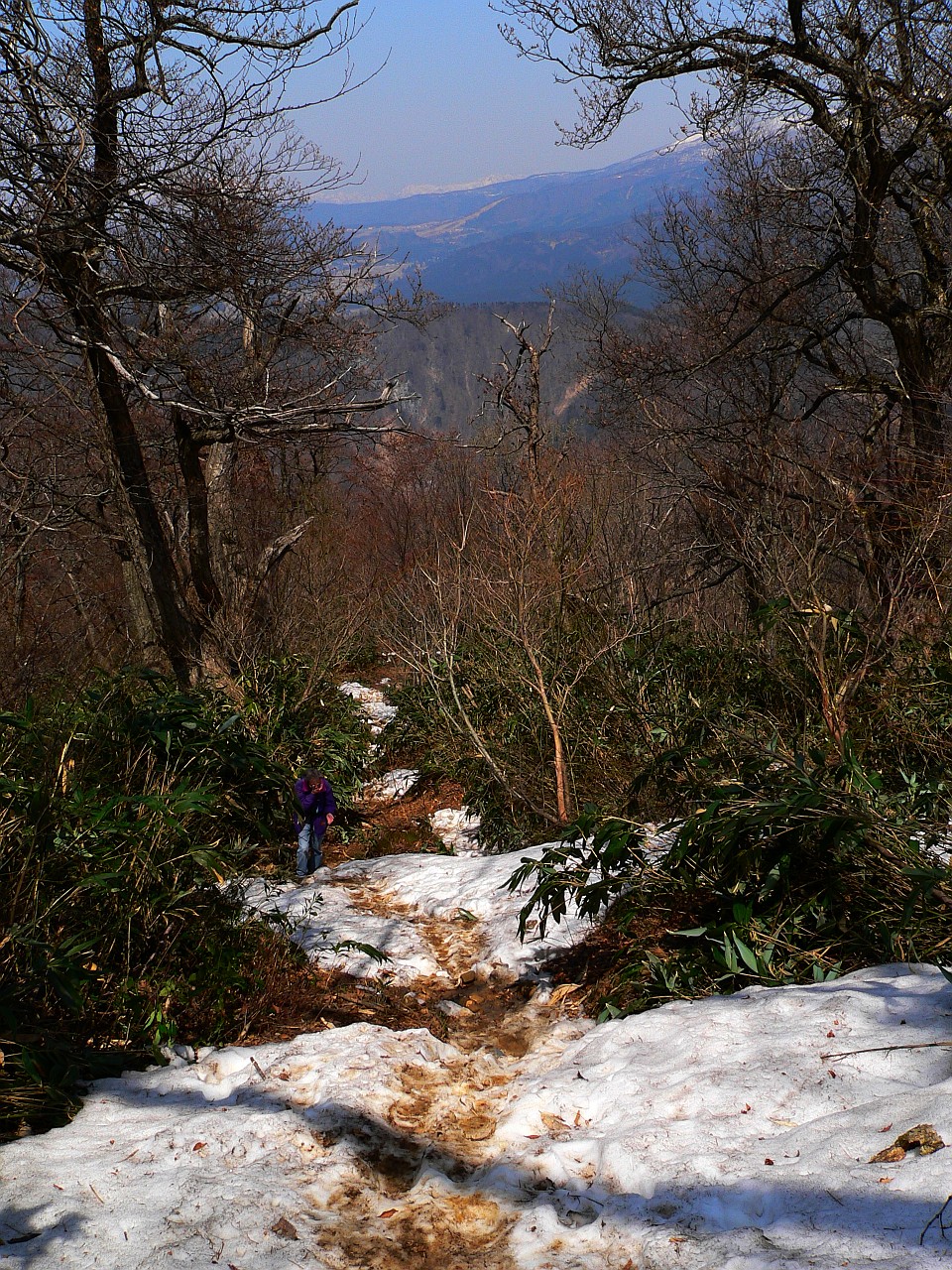
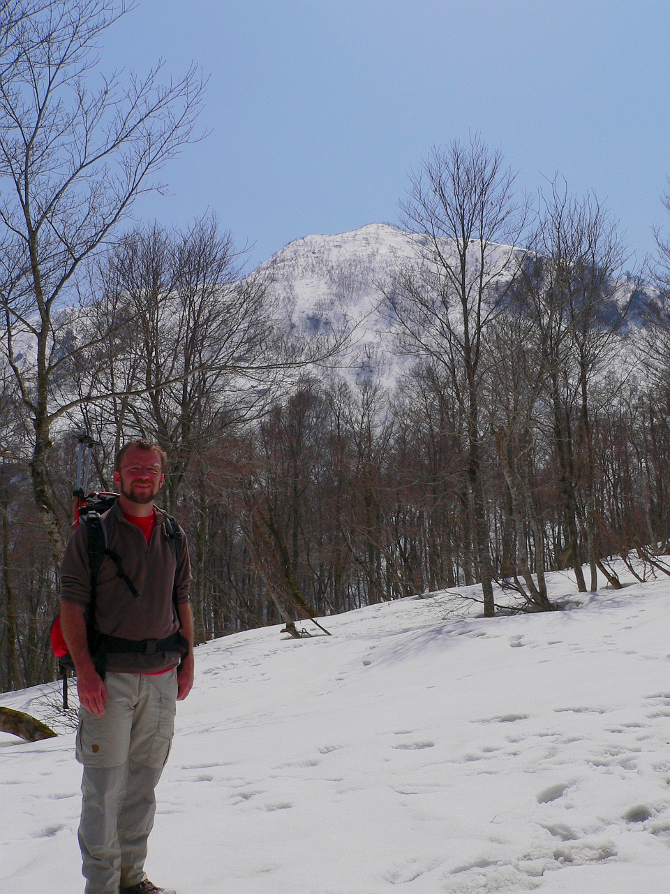
First, one has to climb up the piste of the Kadohara ski area. I am not sure whether it is still in operation in winter. Then we hit snow just where the trail enters the forest. |
|
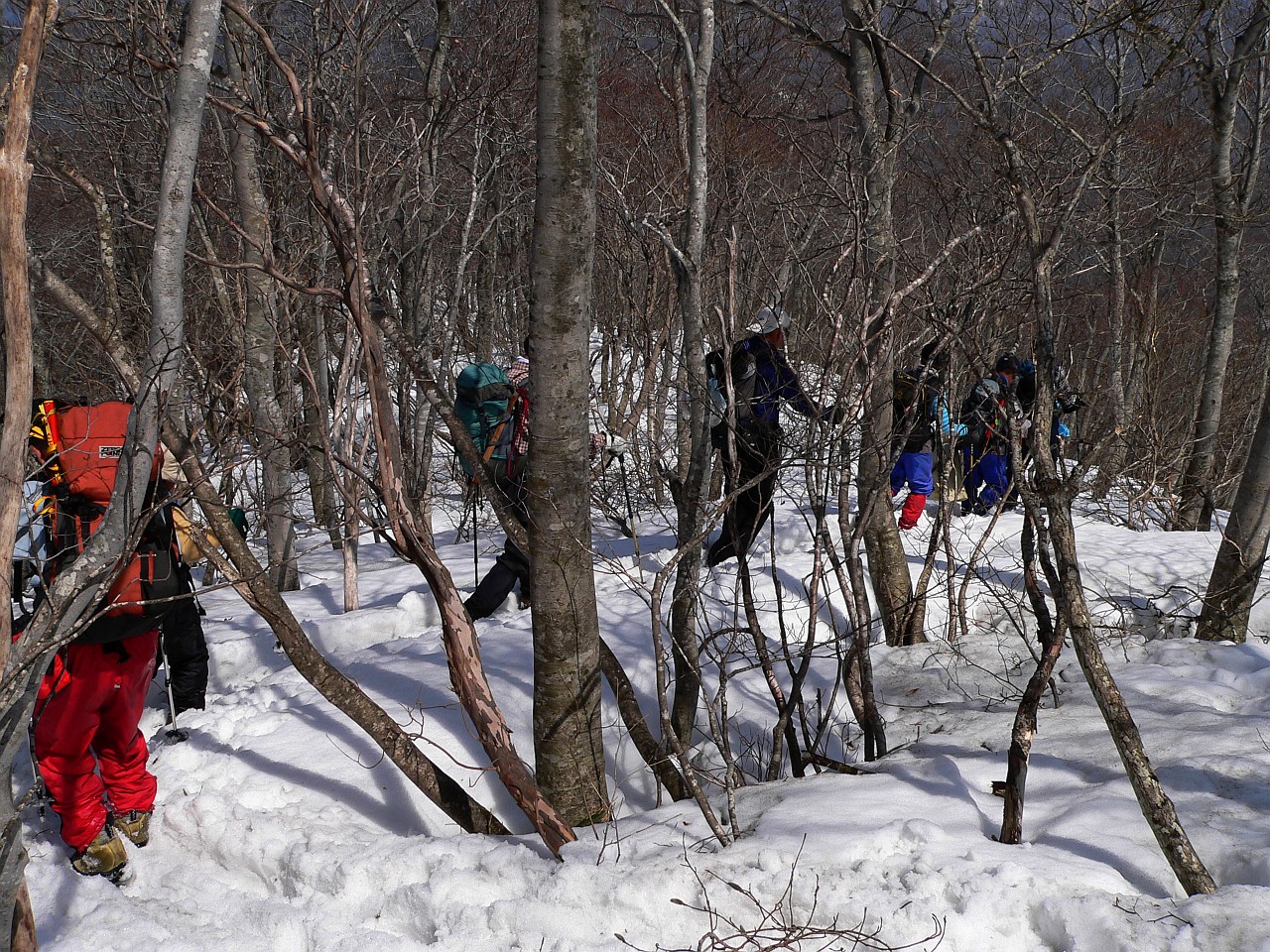
When we met the first Japanese hikers with crampons, ice axe and dressed good enough for Himalaya expeditions we still laughed a bit silently, while friendly trees offered us some equipment for the remainder of the climb.
|
|
|
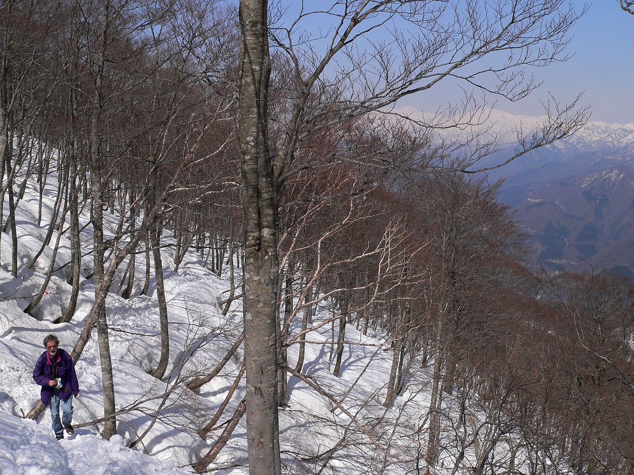
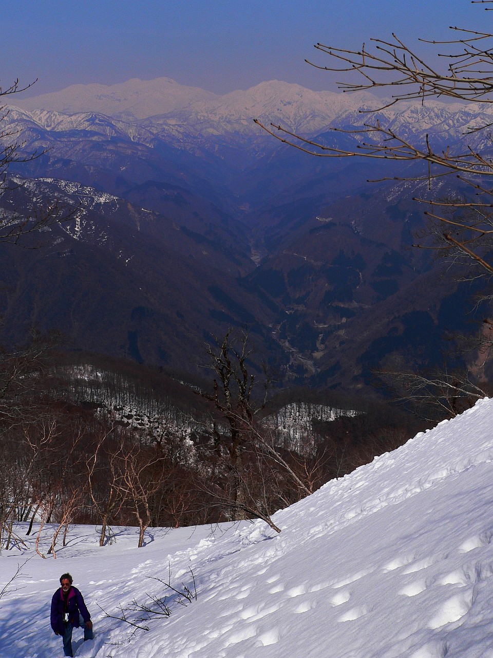
What looked like the summit was not too far off, and the trail was running through pleasant forest terrain.
|
|
|
The snow got higher and higher, while the trail got every time steeper. At one point there were even chains, however unusable since they were buried under the snow. The crampons did not seem completely absurd anymore and soon we were quite happy that I had taken my two ski sticks along. |